Flash Flooding Case Study
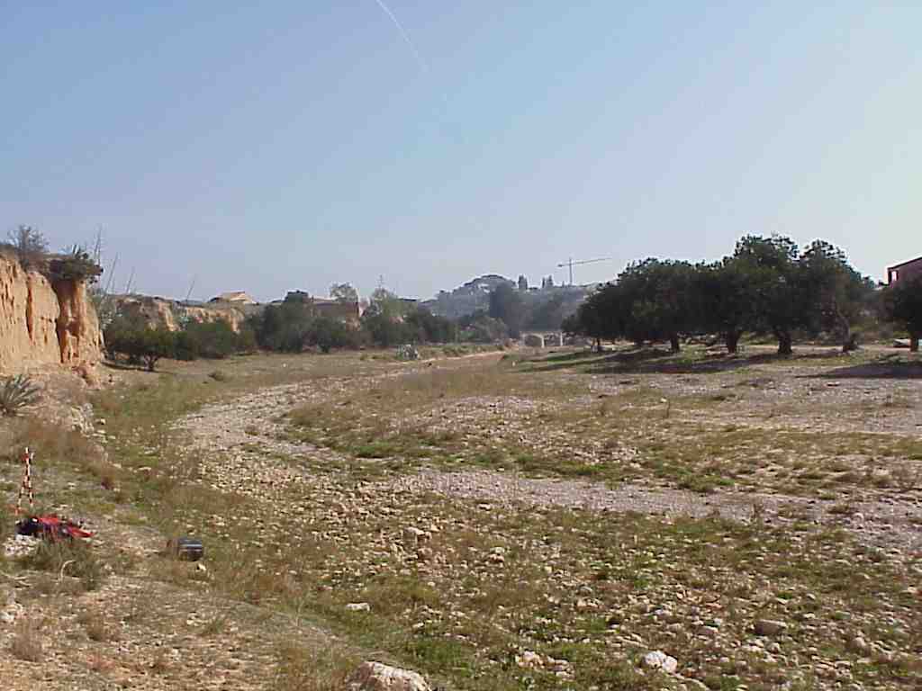
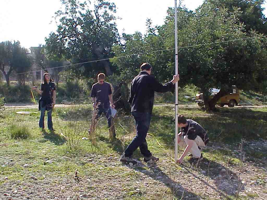
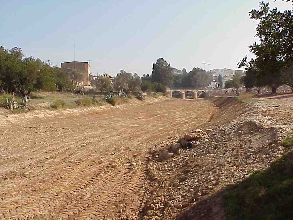
A normally dry river channel near Sant Pere de Ribes, (15 minutes drive from the hotel), has evidence of a past flood level line in a river cliff. This level can be used to measure the channel cross-section and with Manning's n, calculate the approximate discharge for the flood event. A new housing estate has been built on the flood plain at this site. Some channel improvements are being made to reduce the flood risk.
Further downstream, a housing development and camp site are located adjacent to the river channel. Bank-full discharge can be calculated at this site using the same techniques and the flood risk assessed.
Gardens border the river channel at this downstream site, with walls significantly reducing its cross sectional area. The discharge at the upstream site is found to be five times that of this second site downstream at bank-full conditions.
This case study applies the concepts of river management, river efficiency and competence within a Spanish context in which an area at serious risk from a flood disaster is identified.
The study can include a visit to the nearby flash flood
management scheme in El Vendrell.
Flash
flood hazard management in Vendrell, Spain
The study is supported by very detailed materials (in English) from the Barcelona Department of the Environment, river management proposals, the physical and human causes of flash flooding, flood return times etc..
 |
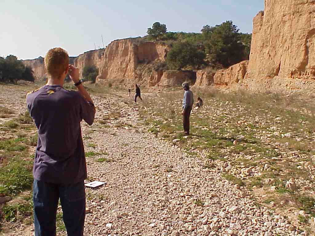 |
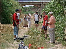
| Site 1: the river channel | Site 1: taking gradient readings |
 |
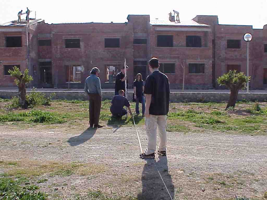 |
| Site 1: measuring the cross-section | Site 1: urbanisation of the flood plain |
 |
 |
| Site 1: channelisation | Site 2: smaller cross-section at bank-full |
This fieldwork supports the Extreme Weather unit of the Edexcel AS Geography syllabus.