Geography
Biology
Geology
Business Studies
 
Expand All  |  Collapse All
 
Geography Packages
Coasts
Crowded Coasts
Ecosystems
Extreme Weather
Fieldwork Techniques
Glaciation
Industry
Limestone
Rebranding Places
Rivers
Rural Change
Rural Depopulation
Rural Rebranding
Ski Resort Impact
Soils
Tourism
Unequal Spaces
Urban
Urban Rebranding
Volcanic Landscapes
Wetlands
Home Page
May 25, 2013
Availability | Prices 2013 | Prices 2014
 

Urban Geography Fieldwork

Location Themes Details
 
Barcelona
 
El Raval, Barcelona
Travel time: 45 minutes
El Raval Impact of urban renewal and regeneration schemes. Environmental and residential quality are assessed in four representative zones, together with the completion of a perception and gentrification index. Best practice case study, examining the impact of the 'Barcelona Model' of culture-led gentrification. 

Land use mapping can be undertaken as an alternative technique to a gentrification index.

Culture-led gentrification in El Raval, Barcelona
Sustainable City Developments: 22@ High-Tech Zone, Media Park, Olympic Village, Diagonal Mar, Universal Forum and La Mina
Travel time: 45 minutes
Torre Agbar, 22@ High Technology Zone
Torre de Agbar - 22@ High Tech zone
 
La Mina, a Barcelona district suffering from high levels of deprivation
La Mina - a district of high social deprivation
Impact of urban renewal and brownfield regeneration schemes west of the River Besòs.

Renewal of an old industrial quarter into a technological district (22@).

The Universal Forum of Cultures 2004 developments include hotels and commercial centre facilities, new beaches, residential areas and an urban park.

These developments lie adjacent to La Mina, the most socially deprived district in the city.

Case study of the impact of these developments, including land use conflicts.

Project Details

22@ more

Can Ricart Can Ricart - the dark side of Barcelona's post industrialisation

Diagonal Mar New shopping developments in Barcelona

La Mina La Mina, Barcelona

Media Park Barcelona Media Park

Universal Forum
Barcelona's Universal Forum of Cultures 2004

Eixample, Barcelona
Travel time: 45 minutes
l'Eixample aerial view, Barcelona
Aerial image of l'Eixample
l'Eixample Park, Barcelona
One public garden includes an urban beach
Application of urban models and impact of sustainable city planning. The Eixample is a utopian garden city development dating from 1859 which grew between outlying industrial towns across what was then Barcelona's military exclusion belt.

The City Council is gradually  restoring public gardens to the Eixample blocks as part of its ProEixample sustainable city planning.

Application of the Hoyt and Burgess models to the Eixample district of Barcelona. Its growth between outlying industrial districts is reflected in its land use patterns. Eixample district of Barcelona

The social, environment and economic impact of the new ProEixample garden project developments. more

What is ProEixample?
more

The Olympic Village: a planning disaster?
Travel time: 45 minutes
Aerial image of the Olympic Village
Olympic Village: empty streets
The Mayor of Barcelona, Joan Clos, has blamed low density planning for the lack of social and economic life in Barcelona's Olympic Village. There are few people on the streets and public space, shops or bar terraces are little used by the neighbours.

In the Mayor's defence of the compact and dense city – building upwards rather than outwards – the Eixample of Ildefons Cerdà is seen as a success. The Eixample has 150 dwellings per hectare, creating a district “where yes, there is life”. For Clos, the Olympic Village with 60 dwellings per hectare is an example of what should not be done in city planning.

The study compares land use, environmental quality, economic data and perceptions for sampled Eixample and Olympic Village blocks. The recording of pedestrian counts and noise decibel levels assists hypothesis testing and analysis.
 
Vilafranca
 
Vilafranca
Travel time: 30 minutes
Vilafranca market Land use patterns within Vilafranca and their application to urban models. Change in retail and other functions, including areas of discard/assimilation and zones in transition. Role of centrifugal and centripetal forces in a changing CBD. Regeneration and re-imaging the CBD. Implications for city centre management. A visit to the nearby Torres Wine Bodega in the afternoon can compliment this study.

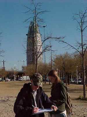
All fieldwork studies are supported with a wide range of secondary data. Some urban studies require students to check the price of a convenience item at a number of retail outlets. These fieldwork examples take a full day. There is usually time available after the work for shopping or sightseeing.

Urban Rebranding


  Copyright © 2013 All Rights Reserved Barcelona Field Studies Centre S.L.  
Page update 4/05/13