Using Google Street Maps in Geography Teaching
Rich world Poor world in São Paulo, Brazil
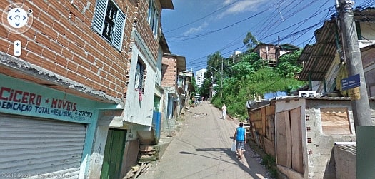
Google Street maps enable users to explore the back streets of São Paulo where wealth and poverty co-exist side by side.
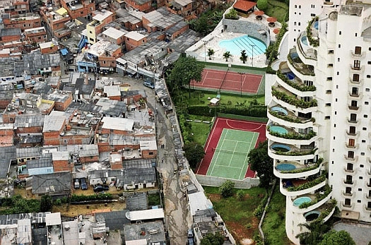 |
| View of a favela and luxury apartments separated only by a wall in the neighbourhood of Morumbi, in São Paulo. Source: VIEIRA TUCA (with kind permission) |
Brazil has avoided the ravages of the international financial crisis with huge public spending and growth and in 2014 had the seventh largest economy in the world.
But inequalities have not yet been swept away. Among Brazilians
eligible to vote there are 8 million illiterate, 20 million who understand
simple texts and 45 million who did not complete primary school. Only 5.2
million voters completed their upper school education and another 4 million
dropped out of university.
Levels of technology with the ability to sell aircraft to China or build oil
platforms, coexist with uses and abuses of the nineteenth century, more
appropriate to a novel by Charles Dickens. According to the Brazilian Institute
of Geography and Statistics, some 4.2 million children and adolescents between 5
and 17 years are part of the labour market.
Inequalities carry over to the nation's infrastructure network. Some 34.8
million people lack sanitation and 69% of the national highways in poor
condition.
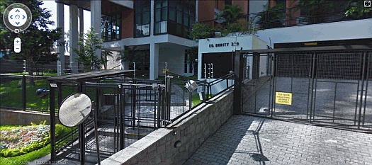
.. and at the top of this street of slum housing, heavy security surrounds high class housing:
Rich world Poor world in Barcelona
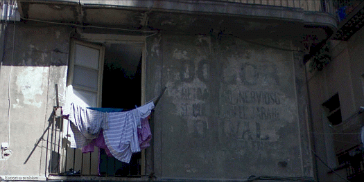
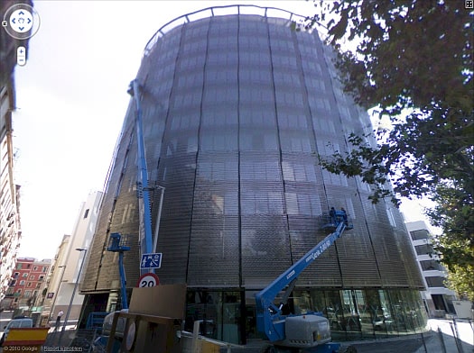
Google Street maps also enable users to explore areas of Barcelona where wealth and poverty similarly co-exist side by side. A good example currently exists in the inner city district of El Raval:
.. and within a few metres in an adjoining street:

