Manning n Surface-Water Field Techniques
Rock Creek Canal near Darby, Montana - n = 0.060 (Source: U.S.G.S Water
Supply Paper 1849)
Site Description
|
Reach Properties
|
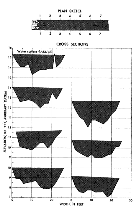
Plan Sketch and Cross Sections
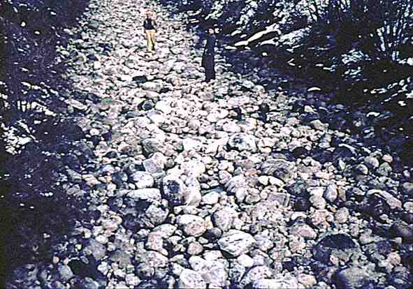
Site Images
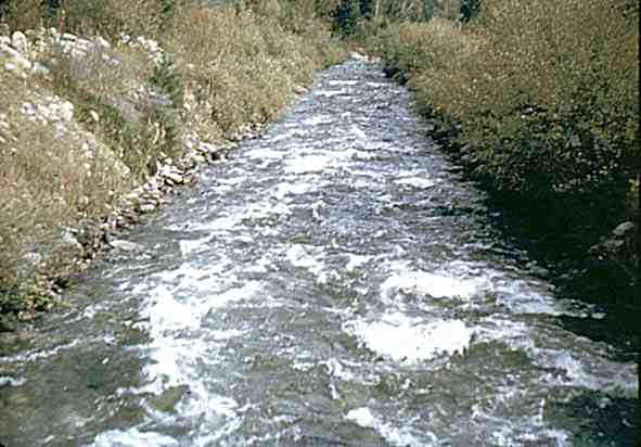
Source: USGS with thanks
Rock Creek Canal near Darby, Montana - n = 0.060 (Source: U.S.G.S Water
Supply Paper 1849)
Site Description
|
Reach Properties
|
Plan Sketch and Cross Sections
Source: USGS with thanks