El Raval Barcelona Past and Present: urban changes 1956-2016
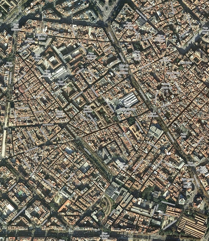 2016
2016
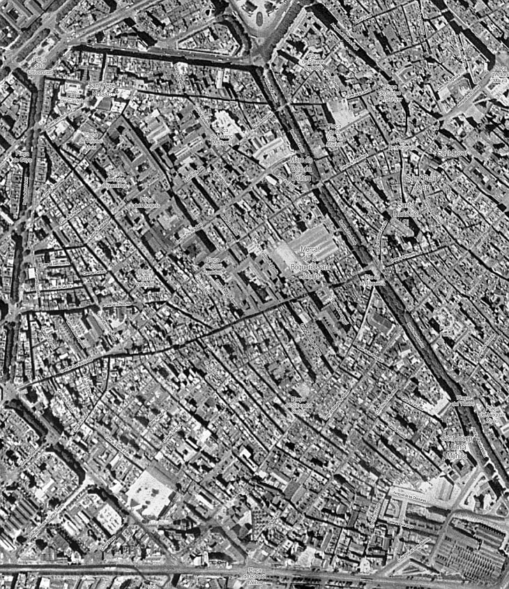 1956
1956
Source: Fotoplànols de ciutats catalanes (1945-1966), Institut Cartogràfic i Geològic de Catalunya
These overlays show the urban changes in El Raval, Barcelona between 1956 and 2016.
This tool is based on photogrammetric flights carried out by the Air Force of the United States, 1945 and 1956 (copyright US ARMY Map Service, provided by the Ministry of Defense (CECAF / CEGET) in collaboration with the Spanish Air Force) and the current image made by the ICC and Geological Survey of Catalonia (now reusable under licence CC-BY).